About GeoNode
GeoNode is a geospatial content management system, a platform for the management and publication of geospatial data. It brings together mature and stable open-source software projects under a consistent and easy-to-use interface allowing non-specialized users to share data and create interactive maps.
Data management tools built into GeoNode allow for integrated creation of data, metadata, and map visualizations. Each dataset in the system can be shared publicly or restricted to allow access to only specific users. Social features like user profiles and commenting and rating systems allow for the development of communities around each platform to facilitate the use, management, and quality control of the data the GeoNode instance contains.
It is also designed to be a flexible platform that software developers can extend, modify or integrate against to meet requirements in their own applications.
Online demo
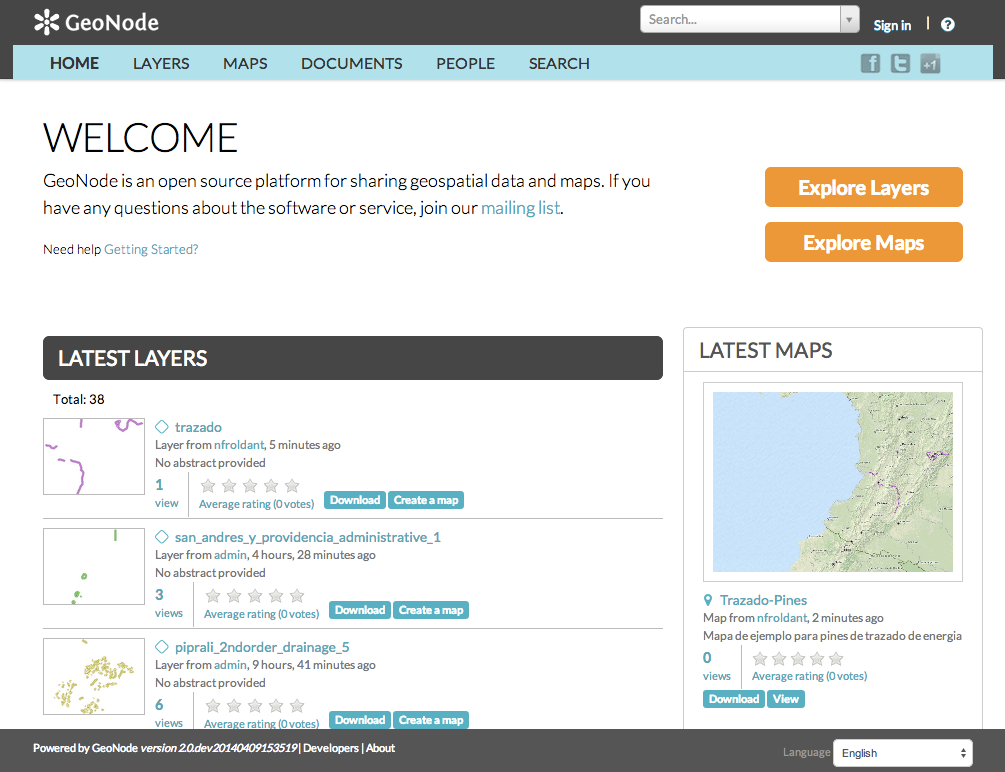
A live demo of the latest stable build is available at demo.geonode.org.
Anyone may sign up for a user account, upload and style data, create and share maps, and change permissions. Since it is a demo site, we don’t make any guarantee that your data and maps will always be there. But it should hopefully allow you to easily preview the capabilities of GeoNode.
Geospatial data storage
GeoNode allows the user to upload vector (currently only Shapefiles) and raster data in their original projections using a web form. Vector data is uploaded in ESRI Shapefile format and satellite imagery and other kinds of raster data are uploaded as GeoTIFFs.
Special importance is given to standard metadata formats like ISO 19139:2007. After the upload is finished, the user is presented with a form to fill in the metadata and it is made available using a CSW interface. Users may also upload a metadata XML document (in ISO, FGDC, or Dublin Core format) to fill in key GeoNode metadata elements automatically.
Similarly, GeoNode provides a web based styler, that lets the user change how the data looks and preview the changes in real time.
Data mixing, maps creation
Once the data has been uploaded, GeoNode lets the user search for it geographically or via keywords and create maps.
All the layers are automatically reprojected to web mercator for maps display, making it possible to use different popular base layers, like Open Street Map, Google Satellite or Bing layers.
Once maps are saved, it is possible to embed them in any webpage or get a PDF version for printing.
GeoNode as a building block
A handful of other Open Source projects extend GeoNode’s functionality by tapping into the re-usability of Django applications. Visit our gallery to see how the community uses GeoNode: GeoNode Projects.
The development community is very supportive of new projects and contributes ideas and guidance for newcomers.
Convinced! Where do I sign?
The next steps are to follow the Quick Installation Guide, read the tutorials and email geonode-users+subscribe@googlegroups.com to join the community. Thanks for your interest!
Note
- The registration process for the mailing list is the following:
- Send an email to geonode-users+subscribe@googlegroups.com with any subject or content.
- Get a confirmation notice from geonode-users+subconfirm@googlegroups.com and confirm by replying.
- Once the above is complete, you are registered and you can start sending emails to the community.